
The environment.
Twins of real places for testing and verifying drones, robots, sensors and the software that runs them, from the first run to the day they operate.
Real places, measured.
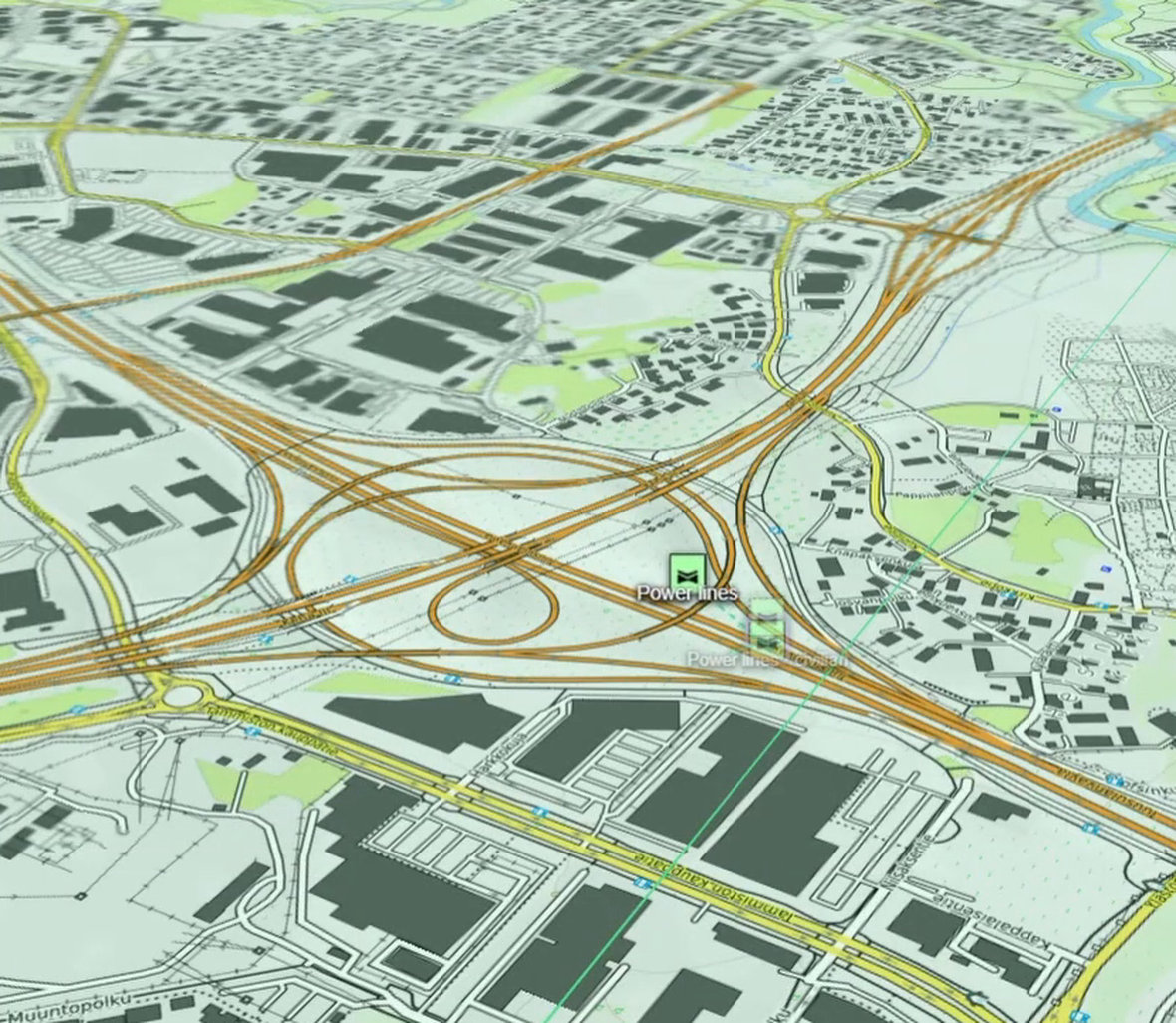
Real places are built from measured elevation, imagery and map data rather than modeled by hand: terrain, sea, roads, buildings and forest.
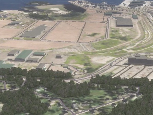
Terrain
From elevation data.
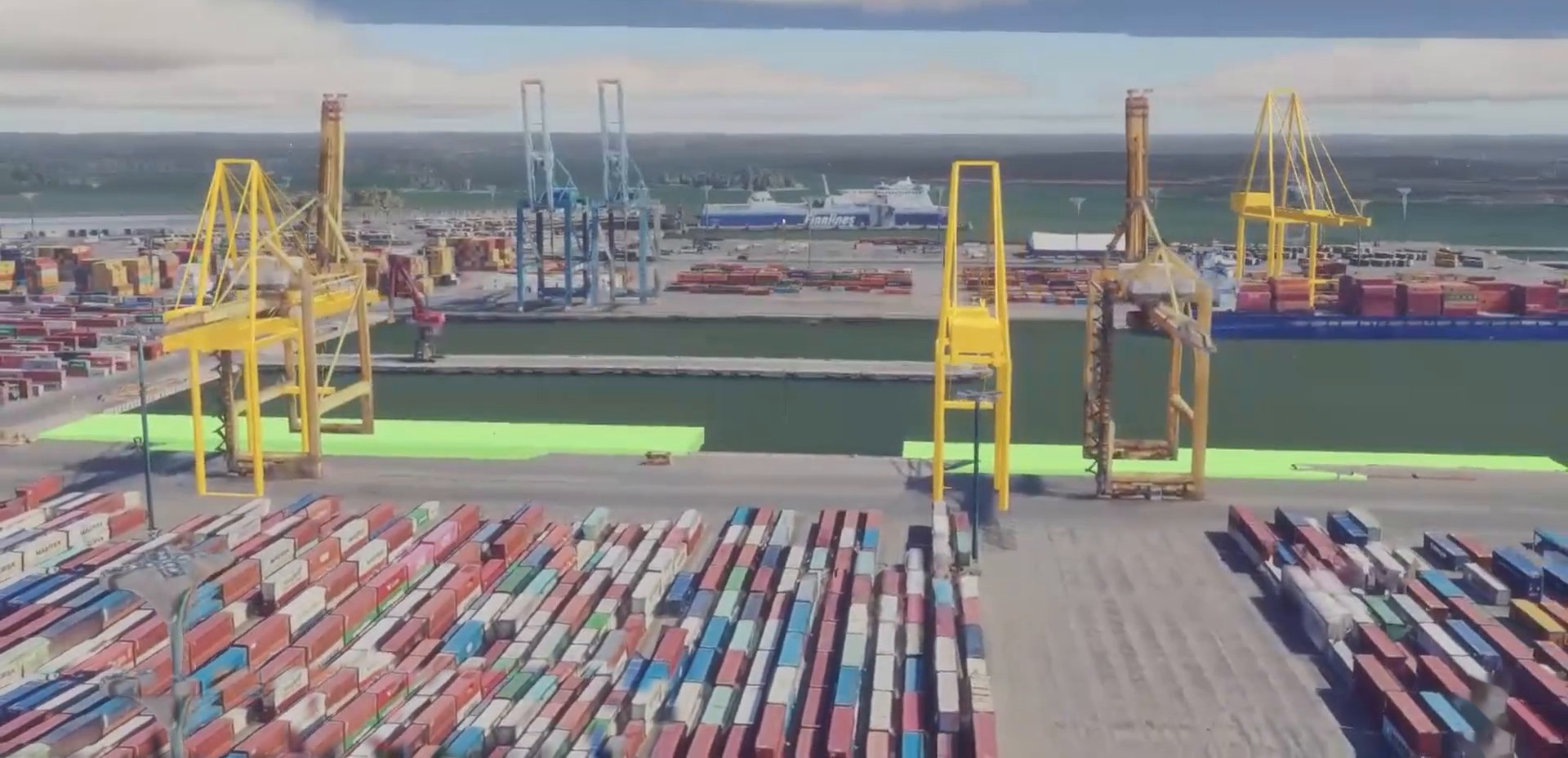
Appearance
From aerial imagery.
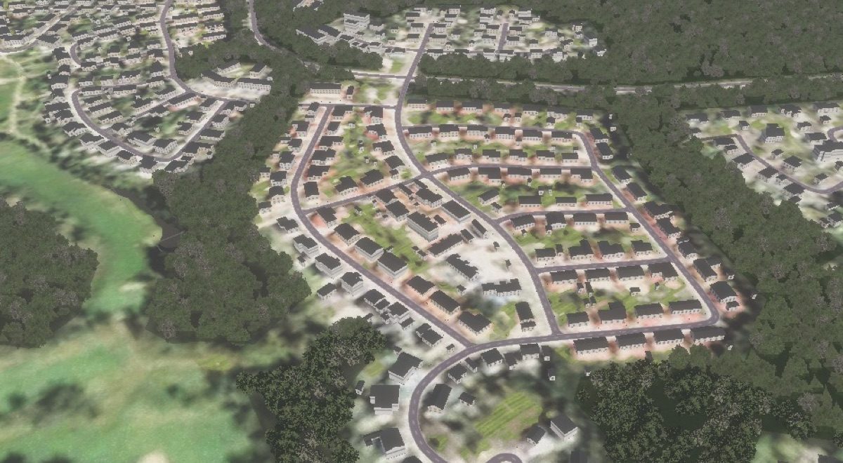
Buildings
Laid out from map data, with heights and roofs measured from LiDAR survey where it exists.
A ridge blocks a radio link or a camera’s view because the ridge is really there, and really that tall.
One physical world, across land, sea and air.
Ships, underwater vehicles, ground robots and aircraft obey the same physics, and what happens to one affects the others. Aircraft fly on JSBSim, an open flight-dynamics engine that aerospace researchers also use.
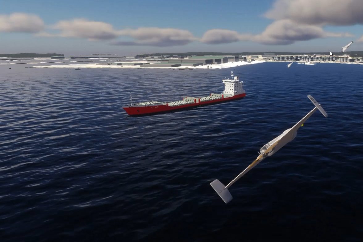
One atmosphere: the wind that raises the sea also moves the aircraft.
A ship floats. A vehicle that drives into a river floods and goes down.
A submarine dives. The seabed is the same terrain, continued below zero.
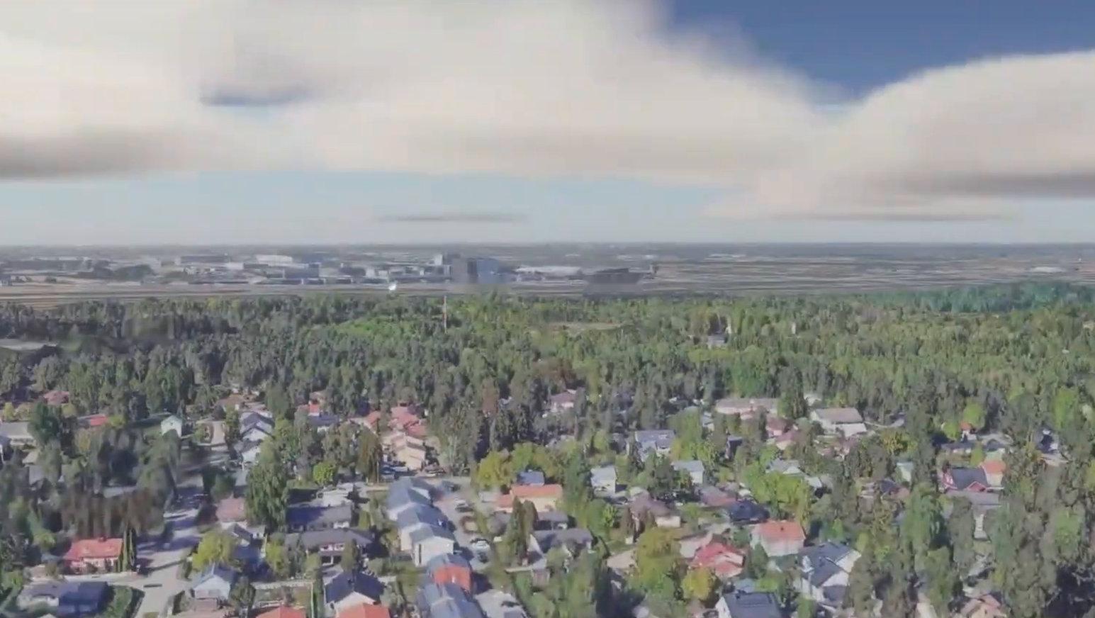
The sky is built from a weather sounding.
The cloud base sits where the air condenses, and everything flies through the air it describes, with its wind at every height. Weather changes what optical and infrared sensors can see, and how every vehicle moves.
A drone’s camera under cloud built from a weather sounding.
The conditions that make systems fail.
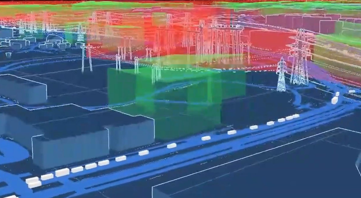
Over a city, a system meets a gust at rooftop height, a weak position fix, a lost link or a street full of people. Over a port or a power line, it meets wind off the water or a lost radio link.
A radar misses a low drone for the reason real ones do. Ground clutter hides it, and the blind zone comes from the radar’s documented beam.
People and the infrastructure they depend on populate the world. A scenario can be a delivery, an inspection flight or an emergency response.
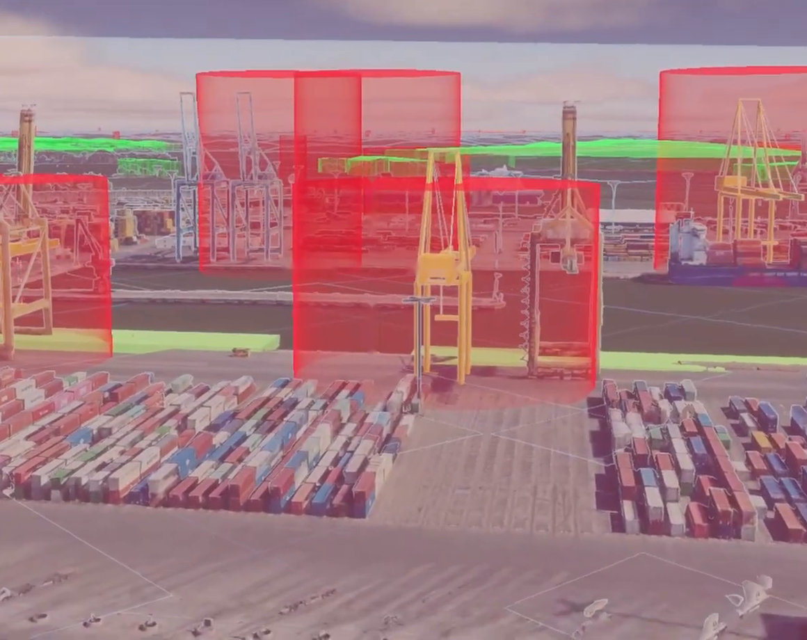
Run it. Watch it at any level.
Build a scenario in a browser with your team and an AI assistant. Run it, and watch it live at any level, from a single sensor to a whole fleet.
- Sensor
- Radar, optical, infrared, whatever the vehicle carries.
- Vehicle
- Pilot, driver or helm, each seat held by a person or an AI.
- Fleet
- Vehicles together, with an operator and a task.
Every edit to a scenario is recorded with who made it and when. The AI can only propose, and its suggestion lands only when a named person accepts it.
A person, our AI, or your controller.
AI agents build scenarios, connect your hardware and extend the environment to fit what you need. People stay in the loop as the decision makers.
Each driving, helm, dive and flight station takes commands from a person, our AI or a controller you add, in the order you set. Take over mid-run. Let go, and the AI carries on.
Built to be run by agents.

Everything in Coldrange is designed to be reached through an interface: building a scenario, connecting a system, starting a run and reading what happened. Scenarios are defined in a published schema and checked by a live validator. A trial runs unattended from one command, and a script scores it.
The 3D view is one way to look at a run, for the people who need to see it. Agents, your own software and your team work through the same interface.
Coldrange keeps each run.
Each run is designed to leave a validated record: the place, the route, the vehicle and its software version, the conditions, and what happened. Records sit in one place and one format, so runs can be compared, and run again after a change.
Over many scenarios, the record shows how a system behaves across the conditions it will meet, where it stops behaving well, and which settings hold up best.
Tell us what you need to prove.
We are building Coldrange in the open, with partners. If you build drones, robots, sensors, autonomy or ground control software, or you are responsible for the places where they operate, write to us.
Write to us hello@coldrange.aiColdrange is new. The experience is not. The team has more than a decade of building hardware-in-the-loop systems, software that talks to real hardware from drones to tanks, including projects for NATO and the British military. It also brings decades of international business experience, and a track record of successfully building and scaling ecosystem products.